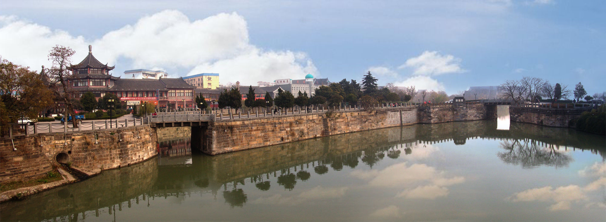
Huai ‘an, Jiangsu Province: The Grand Canal "deformed" and unblocked the golden waterway.
The Grand Canal and Li Canal pass through Huai ‘an City. Following the clue of a 1958 "Comparison Diagram of the New and Old River Lines of the Grand Canal Project" in Huai ‘an Archives, we can understand the relationship between the "two canals" and also open the struggle history of Huai ‘an people in governing the Grand Canal under the leadership of the Party.
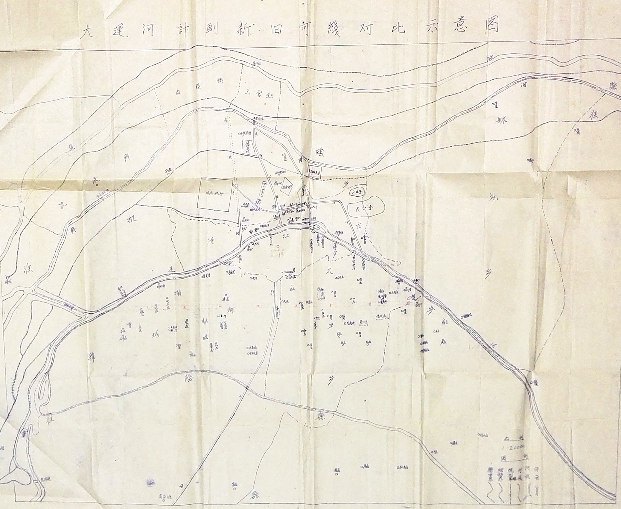
Schematic diagram of comparison between old and new river lines of Grand Canal Project
The Li Canal, also known as the Huaiyang Canal, starts from Huai ‘an Qingkou Hub in the north and flows into the Yangtze River in Yangzhou in the south. Its predecessor was the Han ditch dug in the 5th century BC, which was the earliest section of the Grand Canal.
The riverbanks on both sides are short and thin, resulting in poor flood control ability of the Li Canal. Before the founding of New China, during the flood season, Li Canal often burst its banks and overflowed everywhere, and Huai ‘an was the first victim. After the flood, the water source dried up, and shipping and people’s living water were in trouble. In the early days of the founding of New China, the width of some sections of the Li Canal was only over 20 meters, and the narrowest part was only about 10 meters. In the wet season, the water depth is only 2-3 meters, and only wooden boats of about 30 tons can pass. In the dry season, navigation is often interrupted, or even dried up to the bottom, and shipping is basically paralyzed.
After the founding of New China, the Grand Canal was managed. By the end of 1950s, more than 1,100 kilometers of the Grand Canal had been navigable. With the rapid development of socialist construction, in terms of industrial and agricultural construction, the areas along the Beijing-Hangzhou Grand Canal have achieved unprecedented development, and the transportation volume of various industrial and agricultural products has doubled. However, the transportation volume of the southern section of the Jin-Pu Railway has been saturated, and the position of the Grand Canal in inland navigation has become more prominent. In 1958, the State Council put forward the task of managing the Beijing-Hangzhou Canal by stages and unified planning.
According to the Records of Huai ‘an Water Conservancy, the old canal in the urban area is narrow and tortuous, and there are cross-river sluice bridges such as Beimen Bridge, Shuimen Bridge and Qingjiang Gate. The revetment on both sides of the river needs to be demolished and rebuilt, and more than 25,500 factories and houses along the coast need to be demolished. There are a large number of underwater, so it is difficult to excavate in the urban area, and there are contradictions between construction and land and water transportation, and the development of Huaiyin Port is also restricted. In addition, there are towns such as Banzha and Hexia to the south of Huaiyin, and the task of demolition is great. After the comparison and demonstration of the schemes, it was decided to cut and straighten the original Huaiyin and Huai ‘an sections of the Grand Canal and open a new river.
The west end of the project started from Yangzhuang Commune in Huaiyin County (now Huaiyin District) and ended at Yangmiao Village in Yanhe Commune in Huai ‘an County in the south. Construction started in September 1959. "The standing migrant workers of Chenji People’s Commune actively do all the preparatory work to ensure that they can participate in the excavation project on the Beijing-Hangzhou Grand Canal on time … …” On August 25, 1959, Huaihai Daily published an article entitled "The standing migrant workers of Chenji Commune are ready to leave for the Grand Canal site".
According to Huaihai Daily, Huaiyin District invested more than 12,000 migrant workers in the Grand Canal construction site. The first phase of the project was originally planned to be completed in June 1960, but it was required by the provincial and prefectural committees to be completed in 1959, and the Huaiyin area sent more migrant workers twice, which made the project progress rapidly and completed half a year earlier than originally planned.
"Before September last year, it was still flat. Now, a new river with a length of 2,900 meters, a width of 60 to 160 meters (the bottom of the river) and a depth of 5 to 5 meters and 5 inches has been opened, and levees with a height of 4 meters have been built on both sides. After inspection, the quality of the project is good." On January 5, 1960, Huaihai Daily described the scene after the completion of the first phase of the project.
After the Huaihe section of the Grand Canal was finally completed, the Li Canal and the newly built Grand Canal coexisted.
Beijing-Hangzhou Grand Canal
From 1960 to 1982, the Jiangsu Provincial Communications Department treated the south section of the Li Canal irrigation main canal in northern Jiangsu in two phases. From December 1987 to the end of April 1988, the underwater dredging project was carried out on the waterway of the Huaibei section of the Subei Canal. In the 21st century, the "three to two" project has been implemented for the Huaibei section of the Northern Jiangsu Canal (from Yangzhuang Town in Huaiyin District to Huai ‘an Shiplock) to meet the needs of the rapid development of water transport.
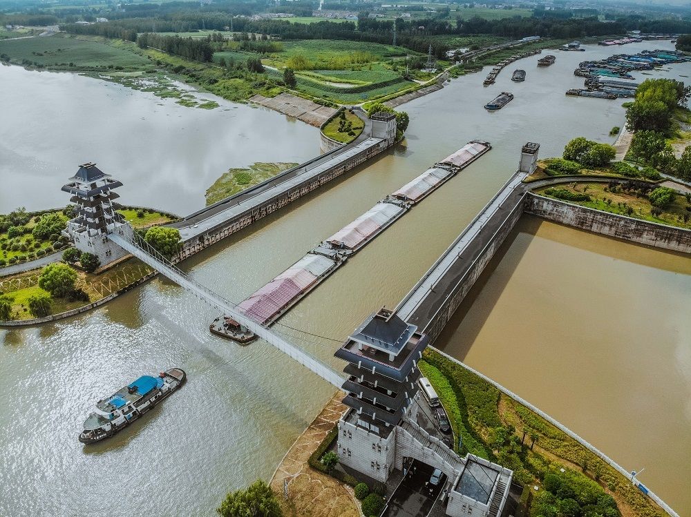
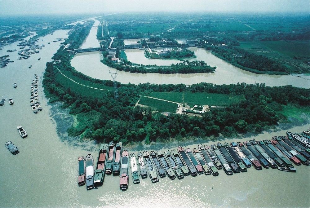
As the artery of water transport, the transportation function of the Grand Canal is irreplaceable. The Huai ‘an section of the Beijing-Hangzhou Canal is 60 kilometers long, which is the section with the highest shipping utilization rate. In recent years, Huai ‘an has fully implemented the strategic deployment of "a strong transportation country" and "a strong transportation province" by the central government, the provincial party committee and the provincial government, and made every effort to push the construction of the high-standard Grand Canal cultural belt to a new level. In 2018, the Provincial Communications Department compiled the "Implementation Plan for Promoting the Green Modern Shipping Development of the Beijing-Hangzhou Canal in Jiangsu Province", and determined the Huai’ an Shiplock to Jiulong Lake Park section in Huai’ an, which is one of the four demonstration sections in the province. At present, the construction of the green modern shipping demonstration zone in Huai ‘an section of the Beijing-Hangzhou Canal is in full swing, and it will be one of the national inland river shipping benchmarks and model projects for building a transportation power with clean and ecological waterway environment, clean and efficient port production, energy-saving and environmental protection of ship equipment, safe and convenient shipping service and remarkable improvement of cultural quality, which will greatly promote Huai ‘an’s economic and social development, coastal environmental beautification and historical and cultural protection.